UK
UK Ireland
 Scotland
 London

An outline planning application, which would see the redevelopment of the former Gedling Colliery site, has been submitted to the Areas Council by the East Midlands Development Agenda (emda).
The colliery site - situated four miles north-east of Nottingham city centre - is one of 107 sites in English Partnership's national Coalfields Programme.
emda owns the land and is responsible for working with English Partnerships – and a range of other bodies including Nottinghamshire County, Nottingham City and Gedling Borough Councils, to bring this land back into beneficial use.
The site is located on the edge of the existing urban area and is enclosed by the former colliery spoil tip, separating it from the wider countryside and beyond. After the closure of the colliery in 1991, much of this land remained derelict.

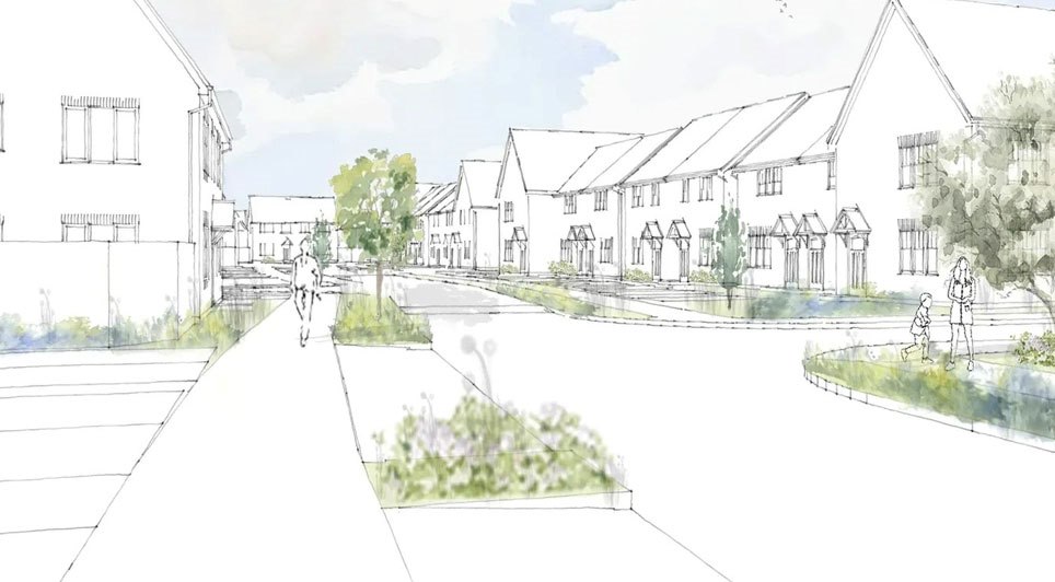
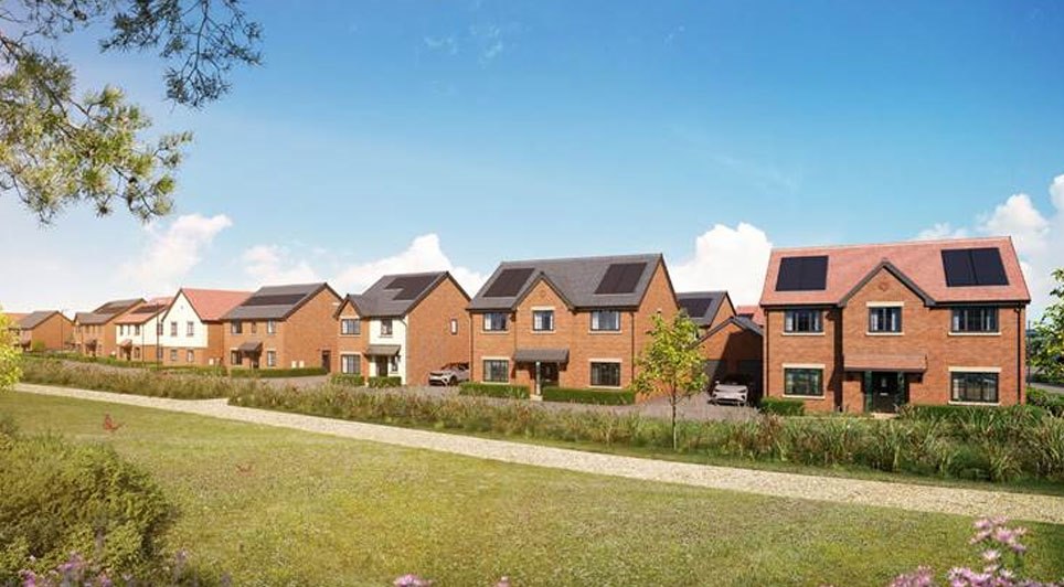
The outline planning application seeks to benefit local people by creating a new, vibrant and sustainable community.
The proposals include an employment and residential mixed-use development including up to 1,120 houses, as well as community facilities, recreation and open space.
At the same time, emda has submitted a detailed planning application for a new access road and cycle route, joining the Mapperley Plains Road and the A612 Burton Road, which will bring wider benefits.
It will help to relieve existing problems created by traffic congestion in Gedling village, as well as providing access for the new development. Land has also been set aside to provide services to Nottingham.
The Colliery development was earmarked for new housing, employment and community facilities in Gedling Borough Council's Local Plan, published in 2005, as a means through which it can meet its housing targets up to and beyond 2011.
Residents of the area have been invited to put their views forward on the planning applications by visiting Gedling Borough Council's website: www.gedling.gov.uk.
(JM)