UK
UK Ireland
 Scotland
 London


Surveying buildings in dense urban environments presents a unique set of challenges that demand precision and adaptability.
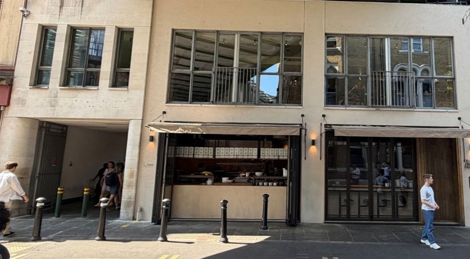
Structures often sit in close proximity, creating tight corridors and restricted sightlines. The drone pilot has to use whatever access points are available, the street, balconies, fire escapes or areas of flat roof. Navigating these environments with a drone requires particular attention to the narrow gaps between buildings, where obstacles such as pigeon netting, overhangs, and external fixtures can significantly limit access and viewpoints. Successfully operating in these constrained spaces is critical to ensuring accurate, high-quality survey results while maintaining safety and efficiency on site.
At the LSE campus in London, Redcopters successfully demonstrated how these challenges can be overcome by carrying out a detailed survey from within a pigeon-netted light well. It meant operating in close proximity to the building, and often close to the netting too. In this ‘urban canyon,’ GPS signals were unreliable, so the drone demonstrated its ability to revert to optical stabilisation for its positioning. Paul Reilly, ceo of Redcopters explains: “Thankfully, our DJI drone’s performance was impeccable. As this was a complex job with multiple risk factors, a RAMS was created and submitted to the client, which also identified back-up landing sites in the event of any problem.” In this way, this approach highlights how advanced flight control technologies can enable effective inspections even in the most restricted urban environments.

Redcopters supports a wide range of clients, including architects, property managers, surveyors, and local councils delivering dependable drone surveying services across London and throughout the UK. Known for a strong focus on customer service, the team combines technical expertise with a clear understanding of complex project requirements, ensuring every brief is executed with precision. From large estates to multi-site portfolios, Redcopters provides consistently high-quality imagery alongside carefully structured indexing, making data easy to interpret and integrate into wider workflows. With a reputation for reliability and attention to detail, they offer a trusted solution for even the most demanding urban survey environments.