UK
UK Ireland
 Scotland
 London

CT Surveys Ltd


Telephone
Click to view
Mobile
Click to view
Contact
Christopher Tutin
Email
Address
Unit 5 Killingbeck Office Village
Killingbeck Court
Killingbeck Court
Leeds
Yorkshire
LS14 6FD
England UK
About CT Surveys Ltd
Topographic and Underground Utility Surveys, Measured Building Surveys, Laser Scanning, BIM Modelling and Drone (UAV) Surveys
Obtaining surveys such as topographic site plans, underground utility mapping surveys and measured building surveys from a professional and responsible company can reduce project planning time by giving you an accurate base plan to start your designs from, minimise risk and gain confidence before excavation begins, comply with health and safety regulations and avoid unwanted last minute surprises.
If you are searching for specialists in measured survey work for the production on 2D site plans, underground utility mapping, Rights Of Light Surveys (ROL) or 3D BIM Surveys, then CT Surveys are an experienced and well established company who can help.
We offer our services to clients throughout the UK. Predominantly, projects are secured in Yorkshire, Lancashire and the North East. We cater for a wide range of surveying requirements, from smaller private building plots to larger commercial and retail projects. Please send your survey enquiry to CT Surveys Ltd and we will be more than happy to discuss your requirements with you to help you get the most out of your project.
We are pleased to be able to offer the following surveying services to our clients:
- Topographic surveys
- Measured building surveys
- Laser scanning surveys
- GPS Surveys
- Revit (3D) Modelling/BIM
- Drone/UAV surveys
- Accurate location and mapping of underground utility services using Electromagnetic & GPR survey techniques.
Topographic & Underground Utility Detection surveys
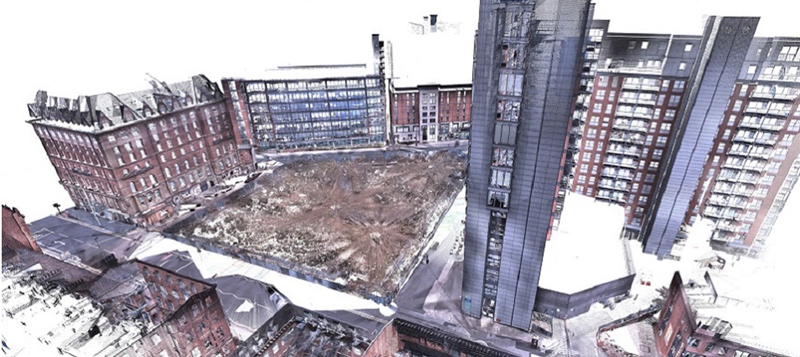
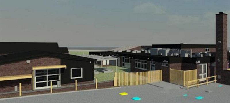
CT Surveys specialises in providing measured survey services including topographic and underground utility surveys, measured building surveys, laser scanning, Drone Surveys, 3D Rights Of Light (ROL) and BIM surveys. Our survey teams carry out the site surveys professionally and considerately, producing survey drawings and 3D models to high accuracy and detail. We also produce 3D point clouds, BIM models and ROL models.
Survey Equipment
Survey Equipment used by CT Surveys
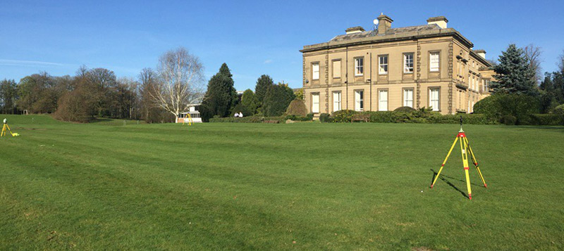
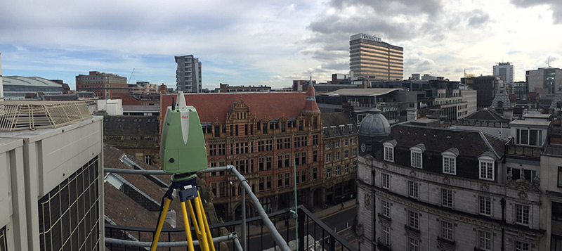
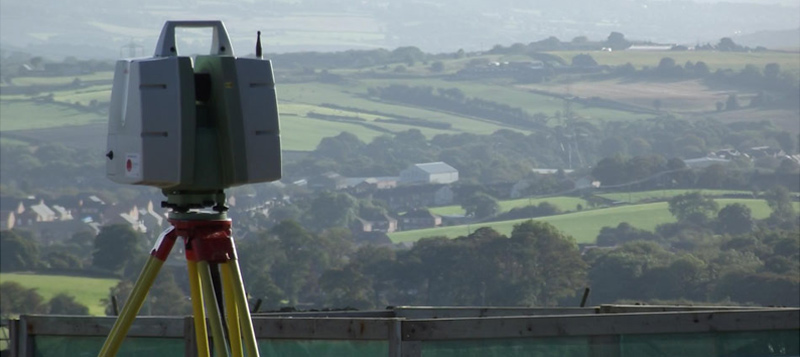
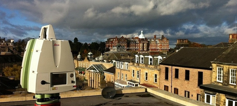
Here at CT Surveys we have a collection of the latest modern surveying equipment, such as Robotic Leica, Trimble and GeoMax Total Stations, Leica & GeoMax GPS and Leica and Faro laser scanners. This enables us to record field observations for topographic and building surveys and then easily transfer the data to a computer. The advantage of the Total Station equipment being robotic is that it can be used by just one person. The robotic equipment works extremely quickly, and is perfect for carrying out topographic surveys, boundary surveys and setting out.
Laser Scanning, BIM, 3D Modelling & Right Of Light Surveys
Starting your project with accurate base plans are vital. We can provide detailed surveys which can include topographic plans, utility location plans, elevations, roof plans, floor plans, sections and even reflected ceiling plans. Laser scanning provides a better option than the more traditional surveying methods due to the speed and high detail of the data collected.
Laser Scanning Service
Lecia Scanstation P40 and Faro Focus S70 hire
Are you a surveyor, architect or consulting engineer thinking of hiring a laser scanner? Why hire when we can provide the laser scanner and an experienced operator for very similar prices? Our company can offer a Leica P40 and/or a Faro Focus S70 Laser Scanner service for a very reasonable price. This service includes an operator and also includes the registration of the point clouds in Cyclone!
GPS Surveys
If you require a GPS survey, we have the Leica GS08, Geomax Zenith 15 and Zenith 16 GNSS systems. This technology makes use of the GPS & GLONASS and GALILEO satellites, which gives the advantage of providing extremely accurate measurement as well as rapid satellite detection.
Our company use the RTK SmartRover when carrying out topographical surveys, flood surveys, Survey Control and setting out. We can use the GPS to locate Trial Pits and Boreholes from Ground Investigation works, giving an position and level to Ordnance Survey Grid and Level datums.
CT Surveys Ltd.
5
out of 5
based on 1 ratings.
Reviews & Testimonials for CT Surveys Ltd

We felt we had to write to you to complement you and your staff on the very efficient service you have provided to us over the past 3 years. In this day and age it is so welcome to deal with people who are pleasant, polite and most of all professional and know immediately what they are talking about. I have found your work to be most efficient, prompt, reliable and at a very competitive price. I wish you and your staff every success now and in the future because it is no more than you deserve.
September 06, 2016
Testimonial by
Kate Raistrick & Duncan Raistrick
Testimonial by
Kate Raistrick & Duncan Raistrick
Gallery
Location Map
CT Surveys Ltd Serves The Following Areas
CT Surveys Ltd Serves The Following Counties
CT Surveys Ltd Serves The Following Towns