

Time and date
CONSTRUCTION DIRECTORY
HD Surveying Ltd
HD Surveying Ltd Contact Details


Address
SF3 Stapeley House
Stapeley Technology Park
Stapeley Technology Park
Stapeley
Cheshire
CW5 7JW
England
About HD Surveying Ltd
Established in 1997, HD Surveying has a team of exceptional land and engineering surveyors providing a range of surveying services.
Our surveying services include:
HD Surveying have the backing of many successful projects, providing a track record of excellence and good service.
Our office is located in Staffordshire, giving easy access to the UK motorway network which is why we're available to clients across the UK.
Surveying and Engineering
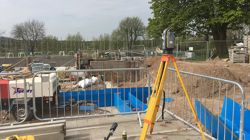
HD Surveying take extra care in understanding all aspects of briefs to ensure the necessary features are covered in all field work. Once all data has been collected in the field, we finetune the finished plan in the office to your specific requirements.
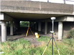
Engineering surveys are in many ways the opposite of land surveys. Information shown on an engineering or architect’s drawing is transferred accurately to the ground to ensure buildings and structures are built to the correct shape and are in the correct position.
Engineering & land surveys that HD Surveying complete:
Underground services such as water, gas, electricity mains, telecommunications, oil, fuel, drains, sewers and all culvert, duct and tunnel systems can be accurately traced using physical and electro-magnet methods. The demand for this service has increased in line with legislation, Health and Safety, the need for connectivity and the increased complexity of utility networks. We can provide a service to locate precisely underground services and to provide accurate plans.
Deformation and Boundaries
We can provide detailed information to show any movement or deformation of a structure over a period of time. Additionally, we can help to gather information for boundary and rights of way disputes.
Deformation surveys - Measurements are taken using high accuracy total station instrumentation on repeated visits to the site. The results are computed in the office and comparisons made with previous data. We can supply finished plans in a variety of file formats or printed as hard copy. We can also provide spreadsheets detailing individual point movement.
Boundary setting out and checks - A boundary survey is an effective method of re-establishing ‘lost’ boundaries (important for developers and land owners). We will operate impartially to provide accurate boundary surveys, which can be overlaid to determine the boundary of a land parcel as shown by the Land Registry (HMLR). It is a peculiarity of land registration in the UK that boundaries are not shown in their precise location by the HMLR. Only a general location of the boundary is detailed on the filed plan, and this can lead to disputes between neighbours.
Measured Buildings
If you need someone to complete a measured building survey, HD Surveys are the perfect choice. Based in Newcastle-under-Lyme, we're well placed to complete measured building surveys across the whole of the UK.
HD Surveys provide specialist 3D laser scanning services to businesses across Newcastle-under-Lyme and across the UK. Our 3D laser scanners can provide accurate measurements and dimensions in 3D where access is limited or restricted, in the darkness of night. Furthermore, laser scanning can help to produce incredibly detailed versions of complicated plans, and all 3D laser scans are suitable for BIM projects and to aid a teams ability to visualise certain aspects of a plan. So whether you're working on a building survey or a complex land survey, if you need someone to provide quick and 100% accurate measurements, get in touch with us.
Inshore Hydrographic
Hydrography deals with the measurement and description of underwater features such as depth, tides, currents and bottom profiles.
We will provide detailed surveys of coastal, river and canal waterways for construction (e.g. marinas), flood capacity or monitoring. Output will be supplied as plans, sections, hard bed, soft bed, contours and volume calculations as required by the client.
Our surveying services include:
- Surveying & engineering
- Deformation & boundaries
- Measured buildings
- Inshore hydrographic
- Wealth of experience
- Friendly and well trained staff
- Latest surveying equipment
- We're here when you need us
- Competitive prices
- Recommended by many
- Named on approval lists of architects, engineers and more
- High quality work
- QMS ISO 9001:2008, Constructionline & TSA members
HD Surveying have the backing of many successful projects, providing a track record of excellence and good service.
Our office is located in Staffordshire, giving easy access to the UK motorway network which is why we're available to clients across the UK.
Surveying and Engineering
HD Surveying take extra care in understanding all aspects of briefs to ensure the necessary features are covered in all field work. Once all data has been collected in the field, we finetune the finished plan in the office to your specific requirements.
Engineering surveys are in many ways the opposite of land surveys. Information shown on an engineering or architect’s drawing is transferred accurately to the ground to ensure buildings and structures are built to the correct shape and are in the correct position.
Engineering & land surveys that HD Surveying complete:
- Topographic and land surveys
- Engineering surveys & setting out
- Earthworks & volume calculations
- Highways, utilities & GPS
Underground services such as water, gas, electricity mains, telecommunications, oil, fuel, drains, sewers and all culvert, duct and tunnel systems can be accurately traced using physical and electro-magnet methods. The demand for this service has increased in line with legislation, Health and Safety, the need for connectivity and the increased complexity of utility networks. We can provide a service to locate precisely underground services and to provide accurate plans.
Deformation and Boundaries
We can provide detailed information to show any movement or deformation of a structure over a period of time. Additionally, we can help to gather information for boundary and rights of way disputes.
Deformation surveys - Measurements are taken using high accuracy total station instrumentation on repeated visits to the site. The results are computed in the office and comparisons made with previous data. We can supply finished plans in a variety of file formats or printed as hard copy. We can also provide spreadsheets detailing individual point movement.
Boundary setting out and checks - A boundary survey is an effective method of re-establishing ‘lost’ boundaries (important for developers and land owners). We will operate impartially to provide accurate boundary surveys, which can be overlaid to determine the boundary of a land parcel as shown by the Land Registry (HMLR). It is a peculiarity of land registration in the UK that boundaries are not shown in their precise location by the HMLR. Only a general location of the boundary is detailed on the filed plan, and this can lead to disputes between neighbours.
Measured Buildings
If you need someone to complete a measured building survey, HD Surveys are the perfect choice. Based in Newcastle-under-Lyme, we're well placed to complete measured building surveys across the whole of the UK.
HD Surveys provide specialist 3D laser scanning services to businesses across Newcastle-under-Lyme and across the UK. Our 3D laser scanners can provide accurate measurements and dimensions in 3D where access is limited or restricted, in the darkness of night. Furthermore, laser scanning can help to produce incredibly detailed versions of complicated plans, and all 3D laser scans are suitable for BIM projects and to aid a teams ability to visualise certain aspects of a plan. So whether you're working on a building survey or a complex land survey, if you need someone to provide quick and 100% accurate measurements, get in touch with us.
Inshore Hydrographic
Hydrography deals with the measurement and description of underwater features such as depth, tides, currents and bottom profiles.
We will provide detailed surveys of coastal, river and canal waterways for construction (e.g. marinas), flood capacity or monitoring. Output will be supplied as plans, sections, hard bed, soft bed, contours and volume calculations as required by the client.
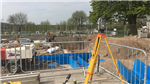
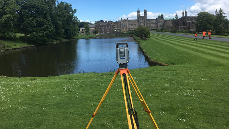
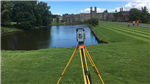
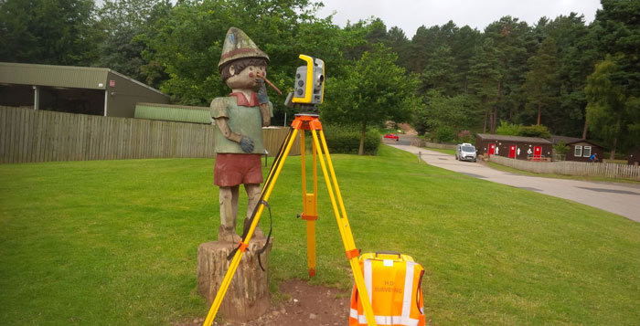
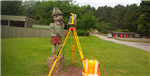
Gallery

|
Click to close
|
Products & Services
Land Surveys
Inshore hydrographic surveys
3D Laser Scanning
Deformation & Boundaries
Surveying & Engineering
Utility Surveys
Measured Building Surveyor
Volume Calculations
Land Surveys
Topographic Surveyor
Setting Out
Measured Building Surveys
Gps Surveys
Topographical Surveys
-
Facebook Feed
Location Map
HD Surveying Ltd Serves The Following Areas
Find HD Surveying Ltd in
HD Surveying Ltd General Description
topographical surveys west midlands gps surveysmeasured building surveys staffordshire west midlands setting out engineer stoke on trent west midlands topographic surveyor stafford warrington gps surveyor west midlands measured building surveyor birmingham setting out surveyor sheffield gps